Architettura
e rilievi 3D
in Franciacorta

Topografia · laser scanner SLAM · progettazione

About us

Studio Architettura Pagnoni. Architecture practice since 1988 in Bornato, Franciacorta.
Architecture, surveying and SLAM laser scanning — from site capture to working drawings.

  • Architecture and design coordination
  • GNSS, total station and SLAM surveys
  • Point clouds, CAD and BIM
  • Procedures, safety and territory

About the practice

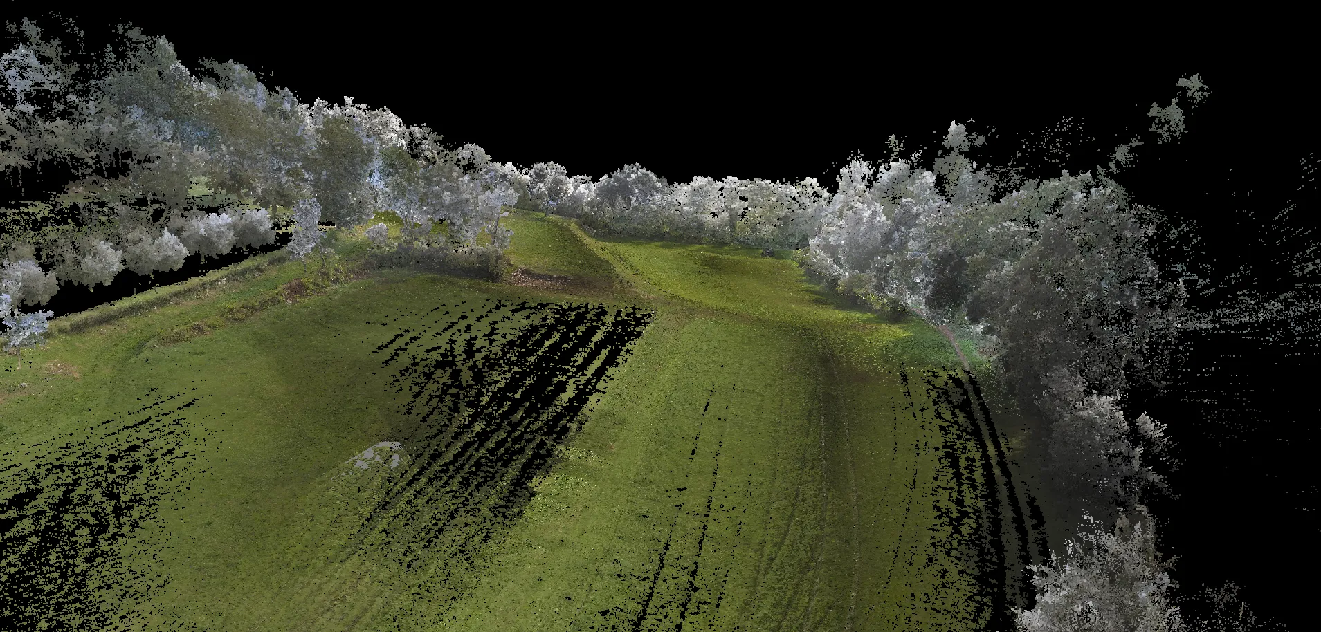
Rilievo laser SLAM sul campo — documentazione 3D per architettura

Franciacorta · Provincia di Brescia

Services

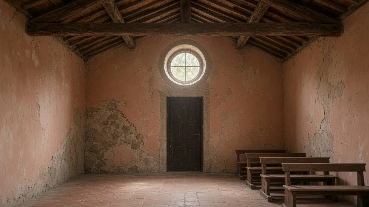
Cappella in restauro — intervento su edificio storico in Franciacorta

Architecture

Full architectural design: from concept to construction drawings, coordinating surveys, planning and site works. Arch. Davide Pagnoni follows the building process alongside measurement and statutory procedures.

Architect in Franciacorta and Brescia
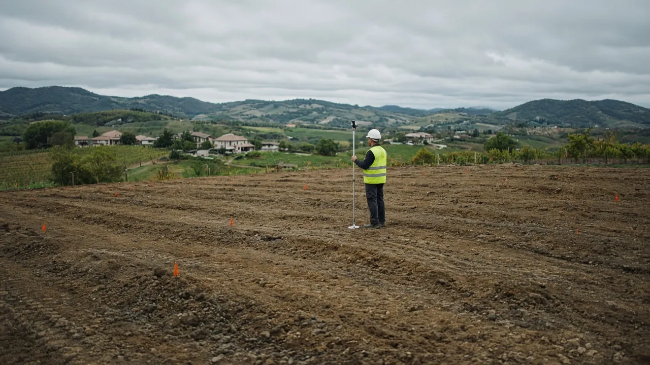
Rilievo GNSS su lotto — topografia e punti di controllo

Surveying

Geometra surveying in Franciacorta: plan and height surveys for sites, quoted plans and a metric base for design. GNSS RTK and total station for traceable acquisitions.

Surveyor and topography in Brescia
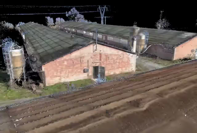
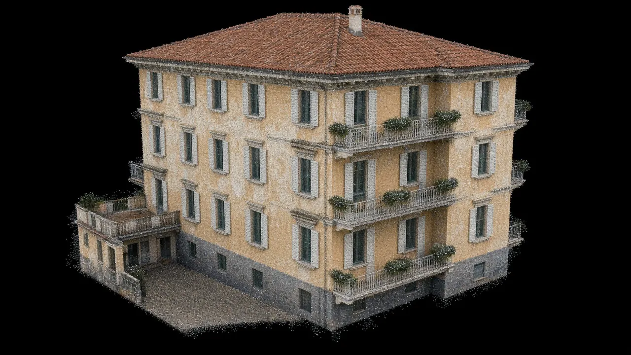
Nuvola di punti 3D da laser SLAM — facciata edificio as-built

SLAM laser scanning

3D documentation of buildings, sheds and plant rooms with dense point clouds: as-built, sections, CAD/BIM and checks in contained timeframes.

SLAM laser scanning in Brescia
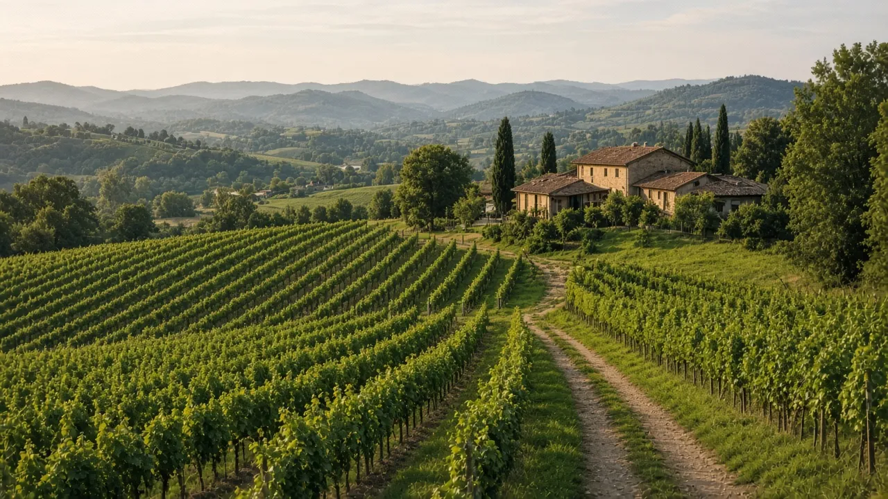
Vigneto in Franciacorta — paesaggio e progetto degli spazi aperti

Landscape design

Landscape design and modelling for vineyards, parks, mountain roads, trails and regeneration schemes, including agronomic support where needed.

Learn more

SLAM e geomatica

Equipment

Mobile SLAM laser scanning is the backbone of our site surveys: current hardware for point clouds and fast 3D documentation of buildings and complex sites. GNSS RTK and total station remain available when the brief requires them.
  • SLAM laser scanner

    Mobile capture: continuous paths, dense point clouds and traceability for drawings and 3D models.

  • GNSS RTK

    Planimetric and altimetric coordinates for large areas and control points.

  • Total station

    Detail surveys and construction sites, including where satellite signal is weak.

Elenco completo dei servizi

From field to deliverables

  • Capture

    SLAM on the move

    Continuous capture in complex spaces: corridors, plant rooms, dense volumes.

  • Metric control

    GNSS and network

    RTK georeferencing and plan/height checks with defined tolerances.

  • Delivery

    Deliverables

    Point cloud, sections, CAD/BIM and drawings ready for site and client.

Professional capabilities

  • Architecture

    Architectural design from concept to construction drawings: preliminary, detailed and construction stages, building procedures and coordination of design and site disciplines.

  • Planning

    Reading of planning instruments, building procedures and regularisations where applicable, with document coordination with public authorities.

  • Site safety

    Safety coordination in design and construction phases (CSP and CSE).

  • Surveying and geomatics

    Use of GNSS, total station and SLAM laser scanning for certifiable surveys and digital documentation.

  • Specialist network

    Qualified network: collaboration with agronomists for landscape work and engineers for structural aspects, according to the brief.

Where we work

Franciacorta, province of Brescia and Northern Italy

Our office in Bornato, Cazzago San Martino is well placed for work across Franciacorta, Valle Trompia, Lake Iseo and the province of Brescia. We also take commissions across Lombardy and, by project type, Northern Italy.

Via Vittorio Emanuele III, 16 — 25046 Bornato, Frazione di Cazzago San Martino (BS)

For timing and availability, contact us. Services as an architect in Franciacorta, surveyor in Brescia, and SLAM laser scanning in the province of Brescia and Lombardy. For architecture practices: outsourced 3D surveys.

Dal 1988 a Bornato

Dal 1988

Studio a Bornato, in Franciacorta

Architettura e topografia

Dalla misura al progetto, nello stesso studio

In campo

GNSS, stazione totale e laser SLAM

Territorio

Franciacorta, Brescia e Nord Italia

Parliamo del vostro progetto

Sopralluogo, preventivo o consulenza tecnica: scriveteci per una prima valutazione.