
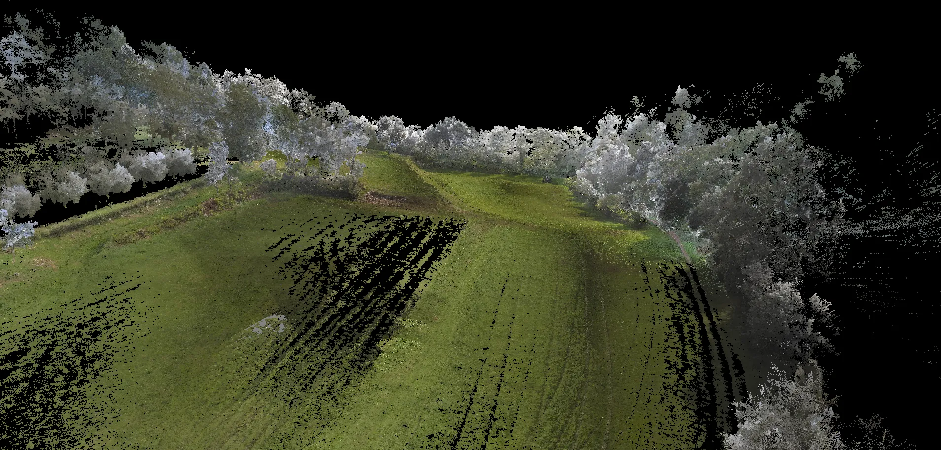
3D scan of a plot in Erbusco (BS), Franciacorta, as a base for existing-condition survey ahead of agronomic works and landscape design.
Goal: a readable metric picture of slopes, banks, vegetation and site limits, integrable with technical drawings (sections, contours, design sheets) and optional topographic checks.
Depending on the brief, we deliver a 3D cloud or CAD drawings with levels, sections and a short summary.