
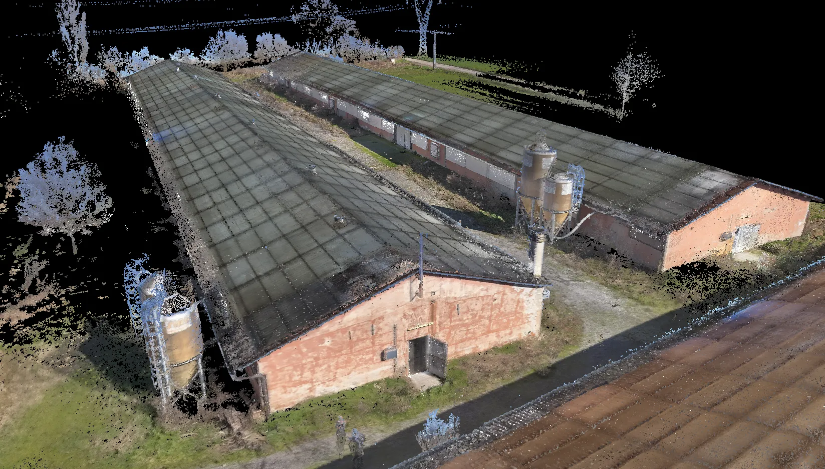
In a livestock context, documenting existing conditions must be fast and readable: routes, clearances, service areas and technical passages. SLAM laser scanning enables continuous capture indoors, cutting time on site and repeat visits.
Typical outputs: a point cloud for archive and exchange, extracted sections/plans, and support material for works and checks. The video shows a 3D scan path captured on the move.
Where the scan must tie to design coordinates or control points, we integrate GNSS RTK and total station as needed.